
Fragmented inputs
Teams stitch together GIS layers, spreadsheets, and one-off datasets before assets can even be compared.
Compare water, infrastructure, jurisdiction and location-based constraints across 25,000+ mining assets and your own private locations.
Global Mining Dataset replaces manual GIS preparation with a repeatable screening workflow, helping teams move from scattered asset lists to comparable shortlists faster.
The problem
Before teams can compare mining assets, they first have to assemble mine lists, GIS layers, risk data, infrastructure and spreadsheets into a usable view.
That preparation work is often rebuilt for every portfolio review, deal screen or market study. Different analysts use different assumptions, making outputs harder to compare and slowing down the point at which teams can make a commercial judgement.
Teams stitch together GIS layers, spreadsheets, and one-off datasets before assets can even be compared.
Water, infrastructure, jurisdiction, and environmental context are reviewed with different assumptions asset by asset.
The same first-pass screening work is repeated across teams, often costing £700–£3,500 per asset before deeper diligence even starts.
Key capabilities
Start from a prepared asset base, apply the same location-based metrics, and produce review-ready outputs for shortlisting, diligence handoffs and internal comparison.
Start with 25,000+ mapped mining assets and mineral exploration areas across countries, commodities and project types.
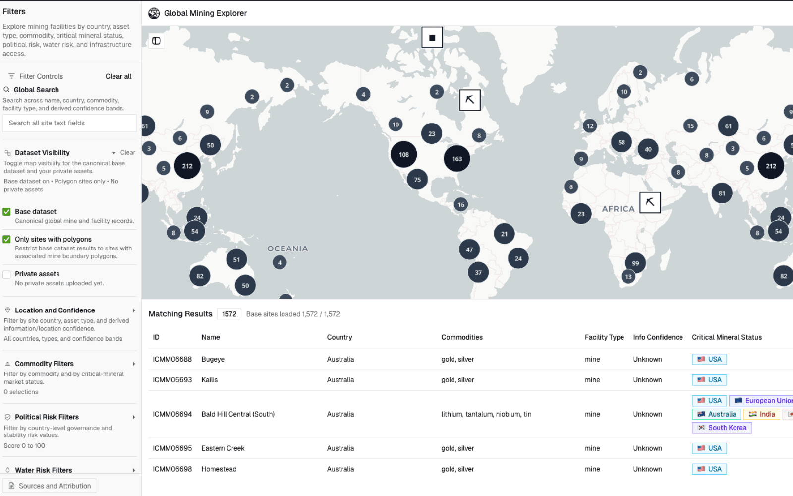
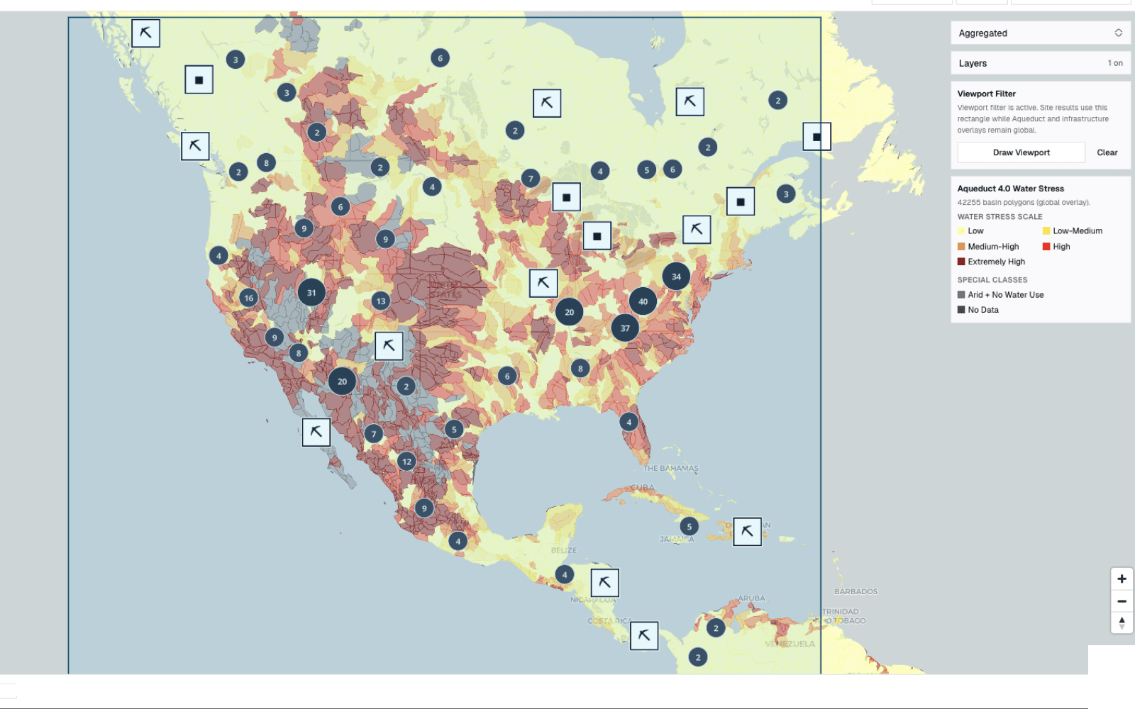
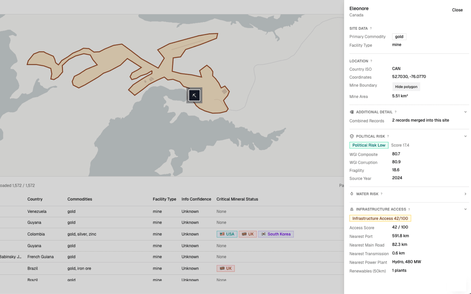
Compare infrastructure, jurisdiction and environmental context against every asset using a repeatable framework.
Rank, filter and export comparable screening results for investment, strategy and downstream analysis.
Explore the full platform workflow, including screening, map intelligence, private assets and structured outputs.
See platform capabilitiesPrivate assets
Upload internal projects, supplier sites or deal targets and apply the same above-ground risk framework used across the shared dataset. Each location can be screened, compared and exported without adding it to the public asset base.
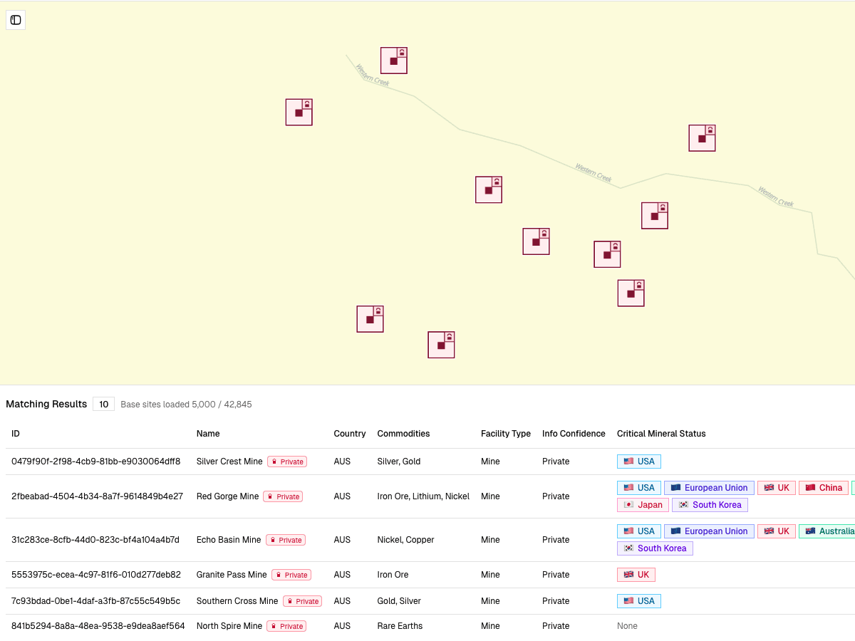
Add coordinates, asset lists or internal project pipelines.
Screen private locations using the same above-ground risk assessment framework
Review private and public assets using the same fields and output structure.
Customer-uploaded records remain private to the customer environment.
Use cases
Prioritise project pipelines, compare jurisdictions and identify water, infrastructure or permitting-related constraints before committing technical and commercial resources.
Triage deal flow, benchmark assets and identify above-ground risks that could affect timeline, capex, financing risk or exit value.
Assess supplier locations, origin exposure, logistics context and geographic concentration risk across upstream mineral supply.
Run repeatable location screening for client work, policy analysis, responsible sourcing programmes and market studies without rebuilding GIS workflows for every project.
Get started
Book a demo to review the shared asset dataset, risk layers and private-location workflow. See how your team can move from scattered GIS prep to repeatable asset screening.